Some Research Focuses
- Measuring surface elevation and elevation-change of the Greenland and Antarctic ice sheets using airborne and satellite altimetry, such as from NASA's ICESat-2 mission
- Estimating glacier and ice sheet mass-change using observations of time-variable gravity provided by the NASA/DLR GRACE and NASA/GFZ GRACE Follow-On missions
- Improving predictions of ocean and Earth tides, particularly in the Southern Ocean and under Antarctic ice shelves
- Developing on-demand and cloud-based services for accessing and processing satellite data
- Developing techniques for fusing datasets from multiple sensors in order to resolve ice sheet topography at high resolution and over rough, crevassed and marginal terrains
- Trying to understand the present-day contributions of glaciers and ice sheets to sea level, and translate remote sensing observations into relevant and actionable pieces of information.
Some Cool Schools
Ph.D. Earth System Science
Sep 2010 -- Mar 2016
University of California, Irvine
International Summer School in Glaciology
Summer 2014
University of Alaska, Fairbanks
M.S. Earth System Science
Sep 2010 -- Jun 2012
University of California, Irvine
B.S. Mechanical Engineering
Sep 2004 -- Jun 2008
University of California, San Diego
Some Places I've Been
Polar Science Center
Jun 2021 -- Present
Senior Research Scientist
Polar Science Center
Jun 2019 -- Jun 2021
Research Associate
ICESat-2 Project Science Office
Mar 2025 -- Present
Project Geodesist
GSFC Cryospheric Sciences Laboratory
Apr 2018 -- May 2019
NASA Postdoctoral Program Fellow
Velicogna Research Group
Mar 2016 -- Mar 2017
Postdoctoral Scholar
Velicogna Research Group
Sep 2010 -- Mar 2016
Graduate Student Researcher
Some Software
- geoid-toolkit
- geodesy
- geophysics
- gravity
- spherical-harmonics
- gravity-toolkit
- geodesy
- GRACE
- GRACE-FO
- gravity
- spherical-harmonics
- IS2view
- altimetry
- ICESat-2
- ipyleaflet
- visualization
- xarray
- pyTMD
- geodesy
- geophysics
- oceanography
- tides
- xarray
- SlideRule
- AWS
- NASA
- data-access
- earth-data
- ICESat-2
- GEDI
- timescale
- astronomy
- earth-orientation
- time
About Me
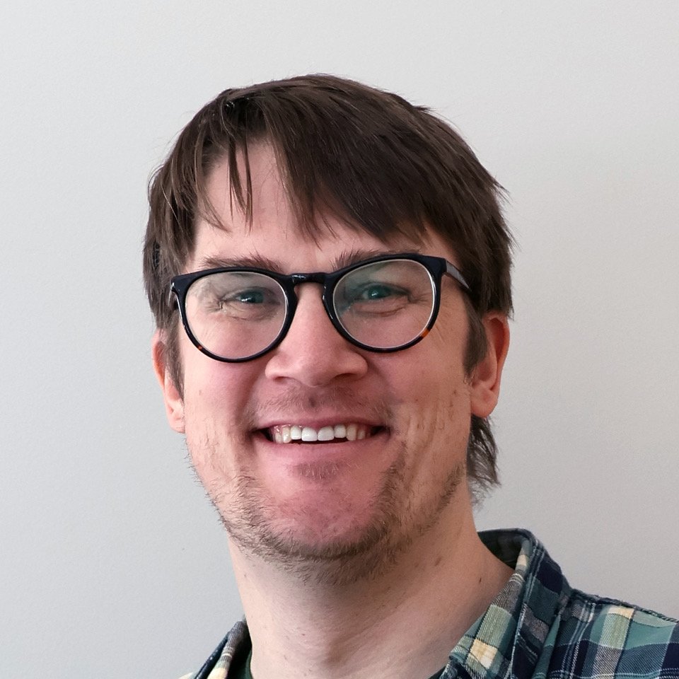
Hey I'm Tyler Clark Sutterley, a Research Scientist at the UW-APL Polar Science Center. I help monitor changes in ice mass and ice volume of the Greenland and Antarctic ice sheets using airborne and satellite measurements.